Categories
Journal Mapping

Allez Alley!

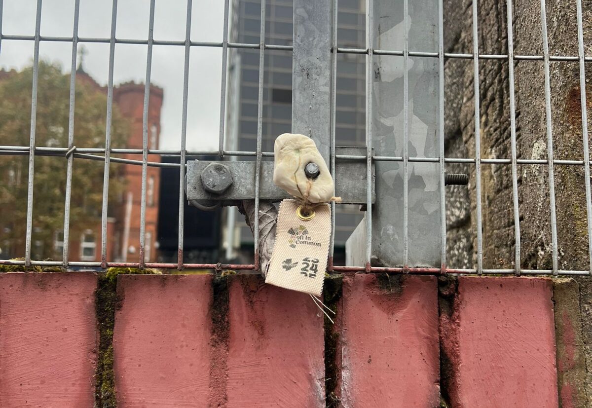
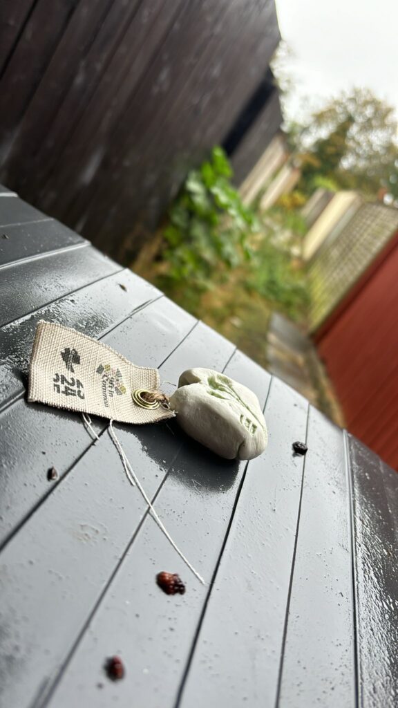
Having exhibited Multitudes together as an edition, we* distributed the stones across Belfast’s alleyways. A series of tiny offerings.

We hoped that the experience of finding one of these 202 porcelain hag stones would allow the finder to perhaps reconsider any preconceptions that they may have had about alleyways and allow them to see these overlooked spaces in a new way. 

Now, we weren’t just hiding hagstones in alleyways, for that would be too easy. In the lead up to Samhain, before the days got too short, we attempted to walk every alleyway in the city! In doing so, we created an audit of these spaces – something that had never been done before!
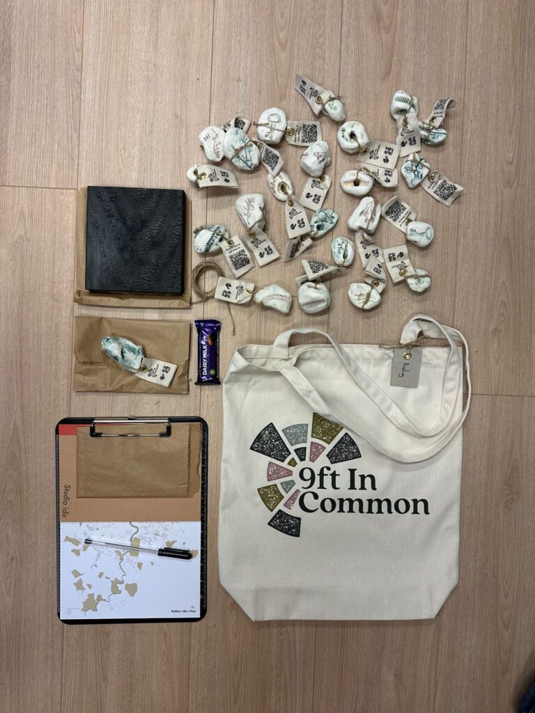
Our Alley Walkers Expidition Bags – with maps stones and a few goodies to keep

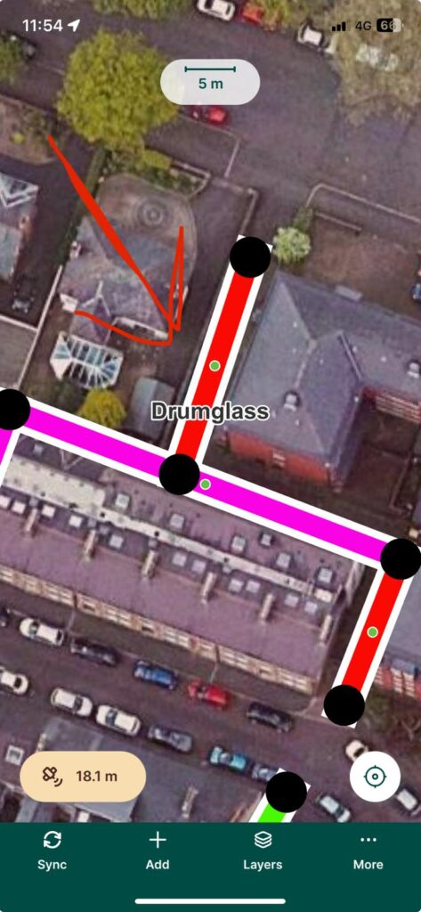
Our team of researchers conducted a field analysis of each alley in the city, so that we could better understand them and their potential. This on the ground analysis involved GIS mapping, recording observations, and collecting information about each space. And since no two alleys are the same, this was quite the undertaking. We had a Whatsapp group that’ was buzzing and bubbling from dawn to dusk with deep questions like ‘is this an alley?!’ 

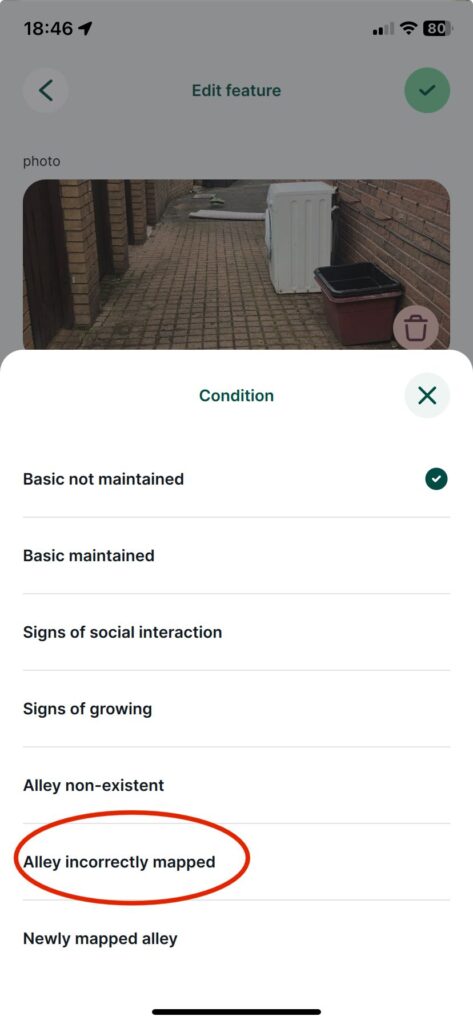
We began by verifying information from the Belfast Alley Map, working across the city’s electoral wards. Our mapping expert James (of North Mapping Services) built us an app in which to store the information that we recorded. We had the ability to add new alleyways, remove dud alleyways, comment on the condition of them, pin point areas of social interaction or community growing. We could identify where gates have been erected, and we can upload images of each alley. And we could also record the coordinates of the hidden hag stones!
Why did we do this? 

  • We are interested in the alleyways as rights of way across the city. 
  • We wanted to demonstrate that they are (mostly) passable, as we coordinated efforts with bin days, sneaking in through unlocked gates. 
  • We are massive map nerds. 
  • We believe that you can’t get to know a space without being present in it.
  • We think walking is a powerful way to explore.
  • We wanted to show how, when occupied, these spaces become safer for everyone. 
  • We wanted our research to be as useful as possible, to as many people as possible. 

* The Royal We: our expanded team of alley walkers –
Aisling & Eloise, Anna, Jemma, Kashmira, Salomé, Pól, Sarah H, Sarah W, John and Jonathan
Categories
Journal Mapping

What if…

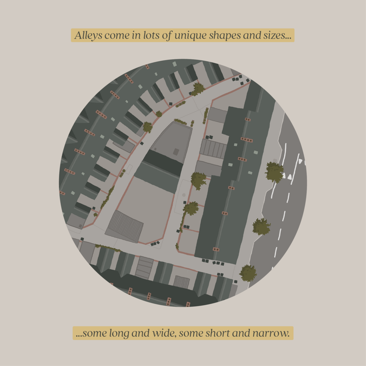
We reckon that Belfast has one of the most extensive alley systems in Ireland, a network that developed alongside the many Victorian terraces built to support a growing industrial city

In 2020 9ft in Common created the Belfast Alley Map hoping that, by making this hard-to-obtain information accessible, we could open people’s eyes to the rich history, current challenges, and untapped potential hidden just a step off the many terraced streets.

Thanks to the support of Belfast 2024 we’re able to continue advocating for the alleys and making information about them easier to understand. As part of this we recently worked out their combined length – just how expansive is Belfast’s alley network?

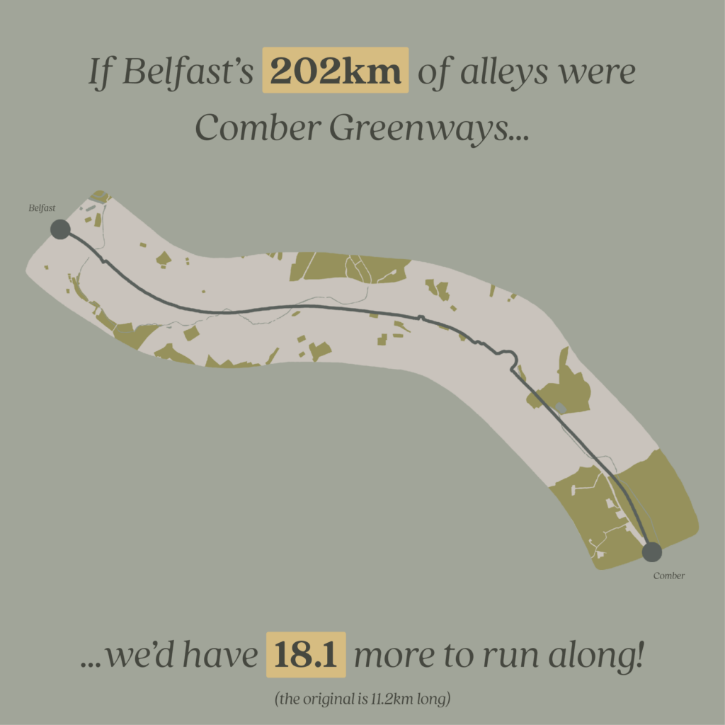
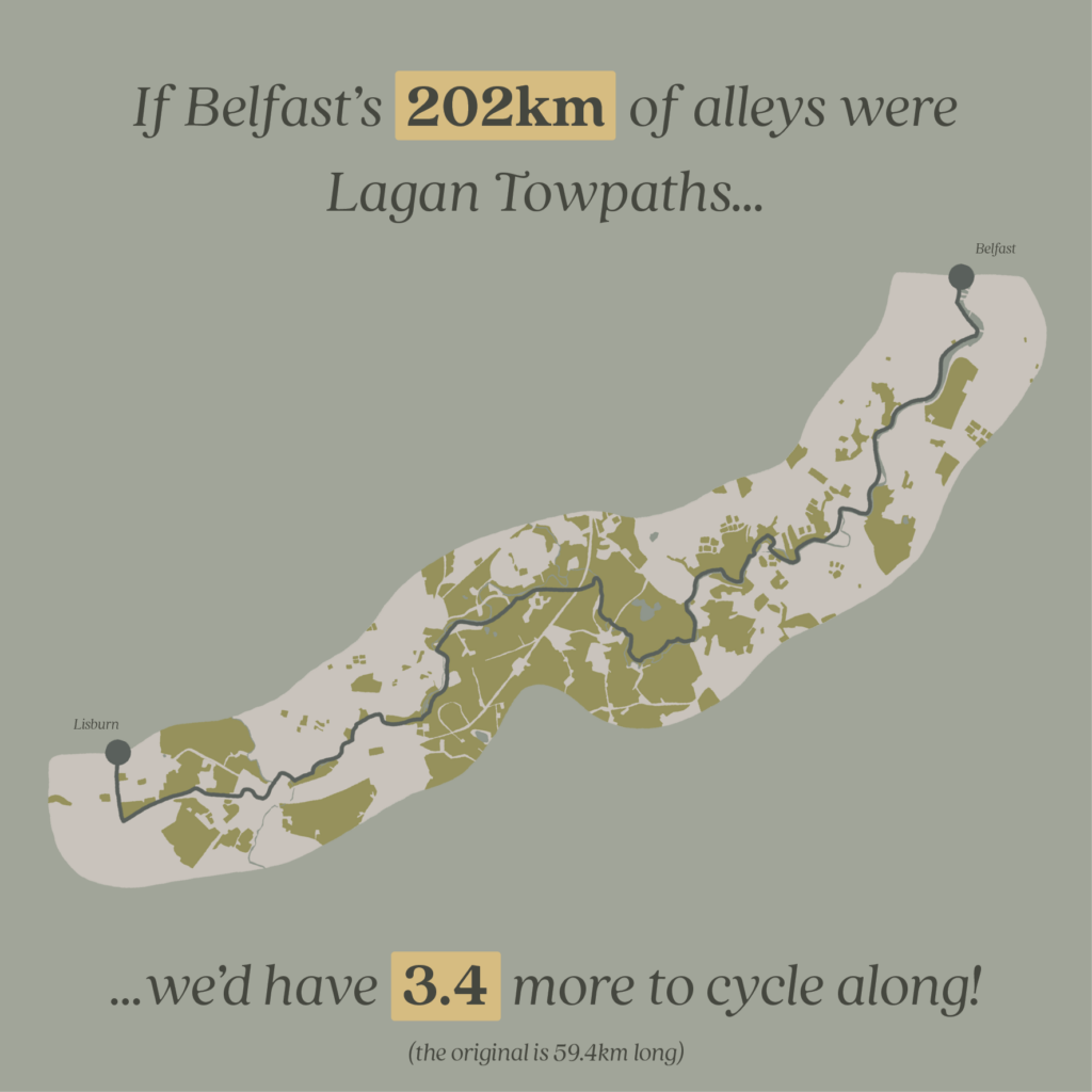
We calculated that together, our alleys would stretch an amazing 202km (126 miles)! 

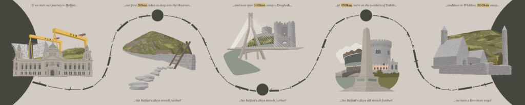
We’ve made visual comparisons to lengths you might imagine – how far a straight 202km line would take someone from Belfast?

We worked out that it would take you all the way to the Wicklow mountians (as the crow flies) and if you were able to take the journey it would be a

  • 35 hour walk
  • 22 hour run
  • 11 hour cycle

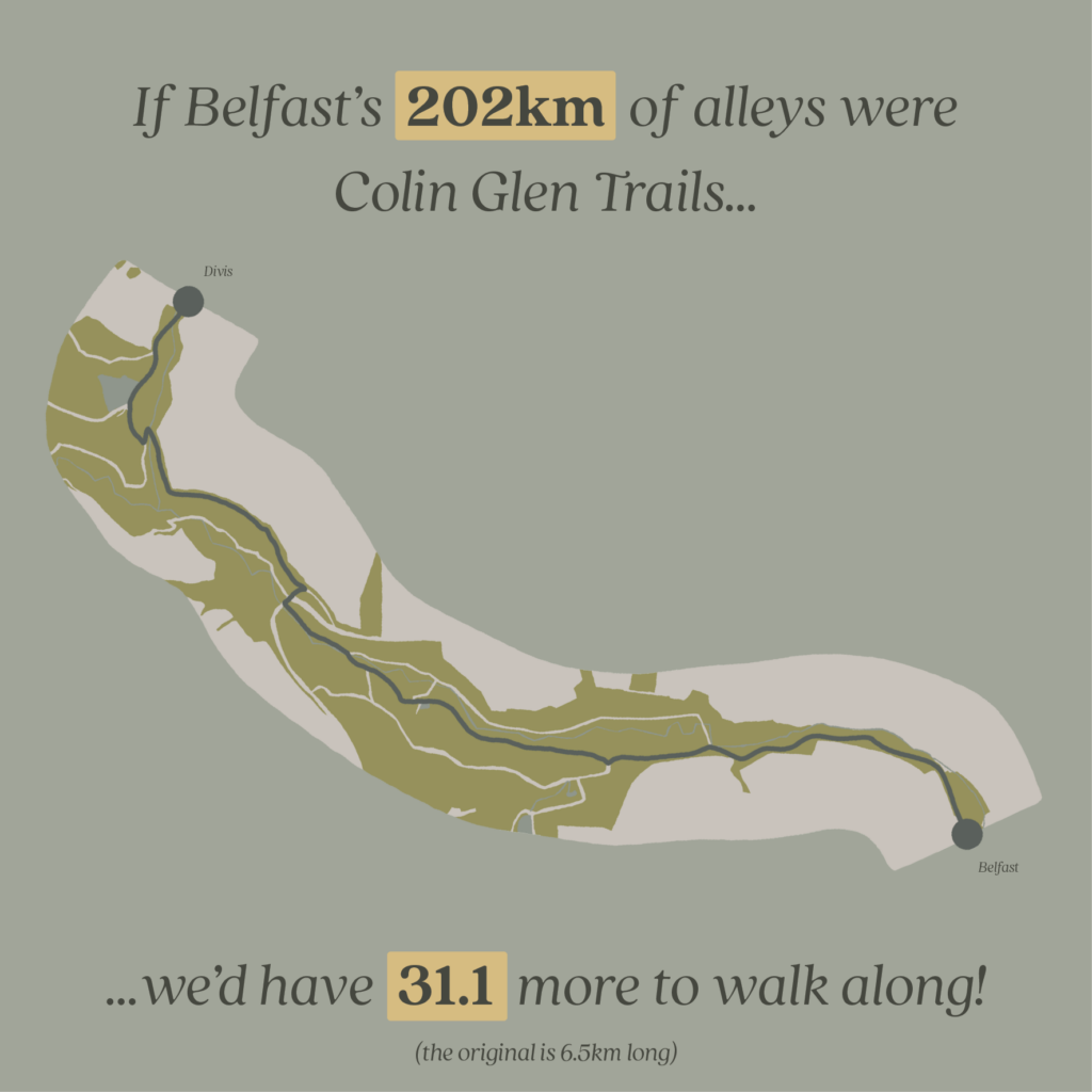
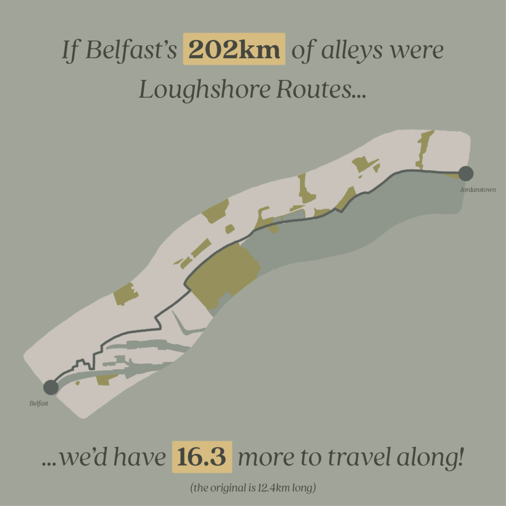
When we think of valuable urban routes, our minds often jump to places like the Comber Greenway, the Lagan Towpath, and trails up into the Belfast Hills – all fantastic resources for people and nature. Our alleys have the potential to be just as valuable.

In our conversations with the public we’ve already heard plenty of stories about using alleys as shortcuts, pedestrian-only thoroughfares, as wildlife corridors.

We’ve covered the threat that council gating orders pose to the permeability of our alley network in a previous post, so let’s imagine an alternate vision – what would it look like if we turned our alleys into public greenways? Imagine how interconnected our city could become!

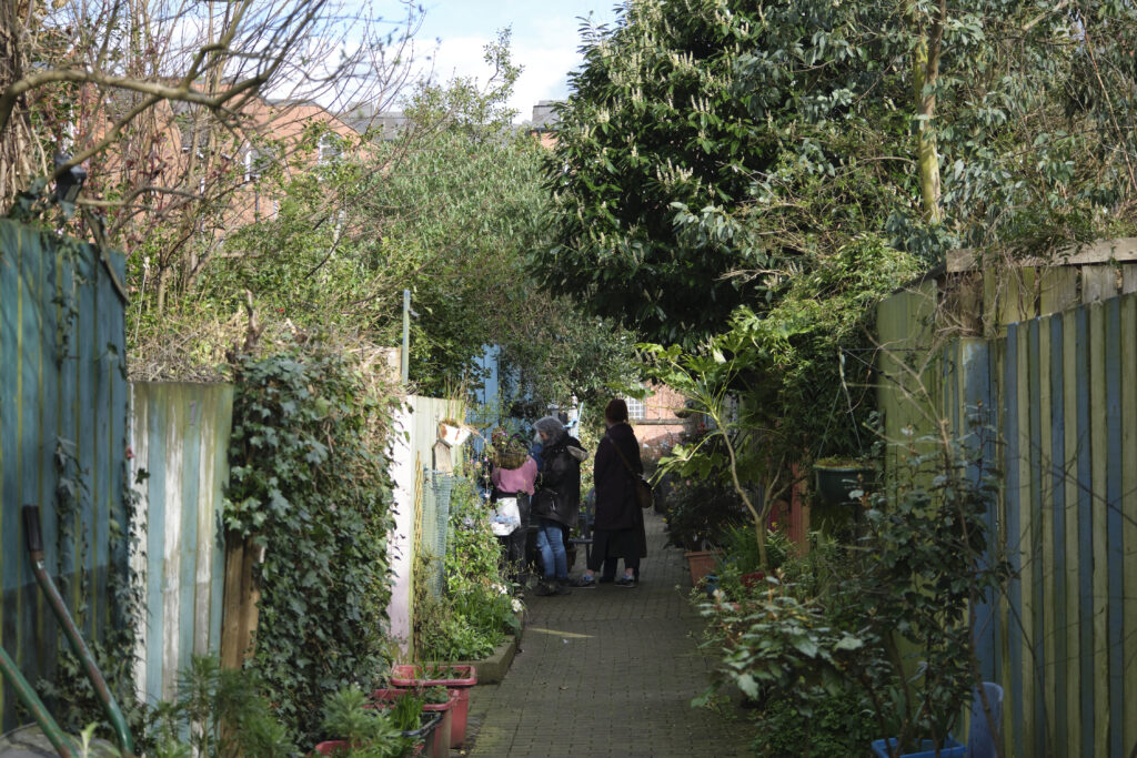
Wildflower Alley in Holylands. Photo: Simon Mills

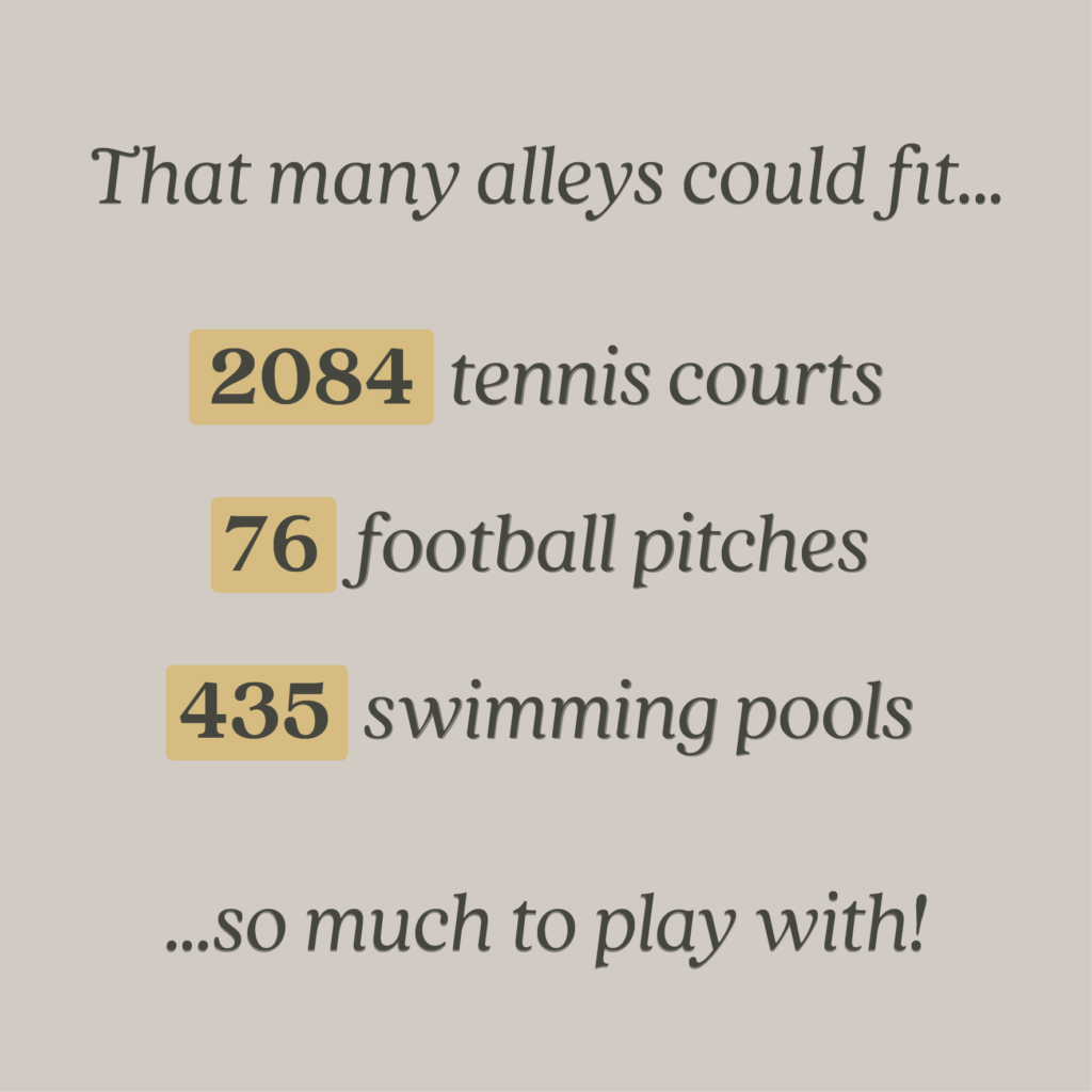
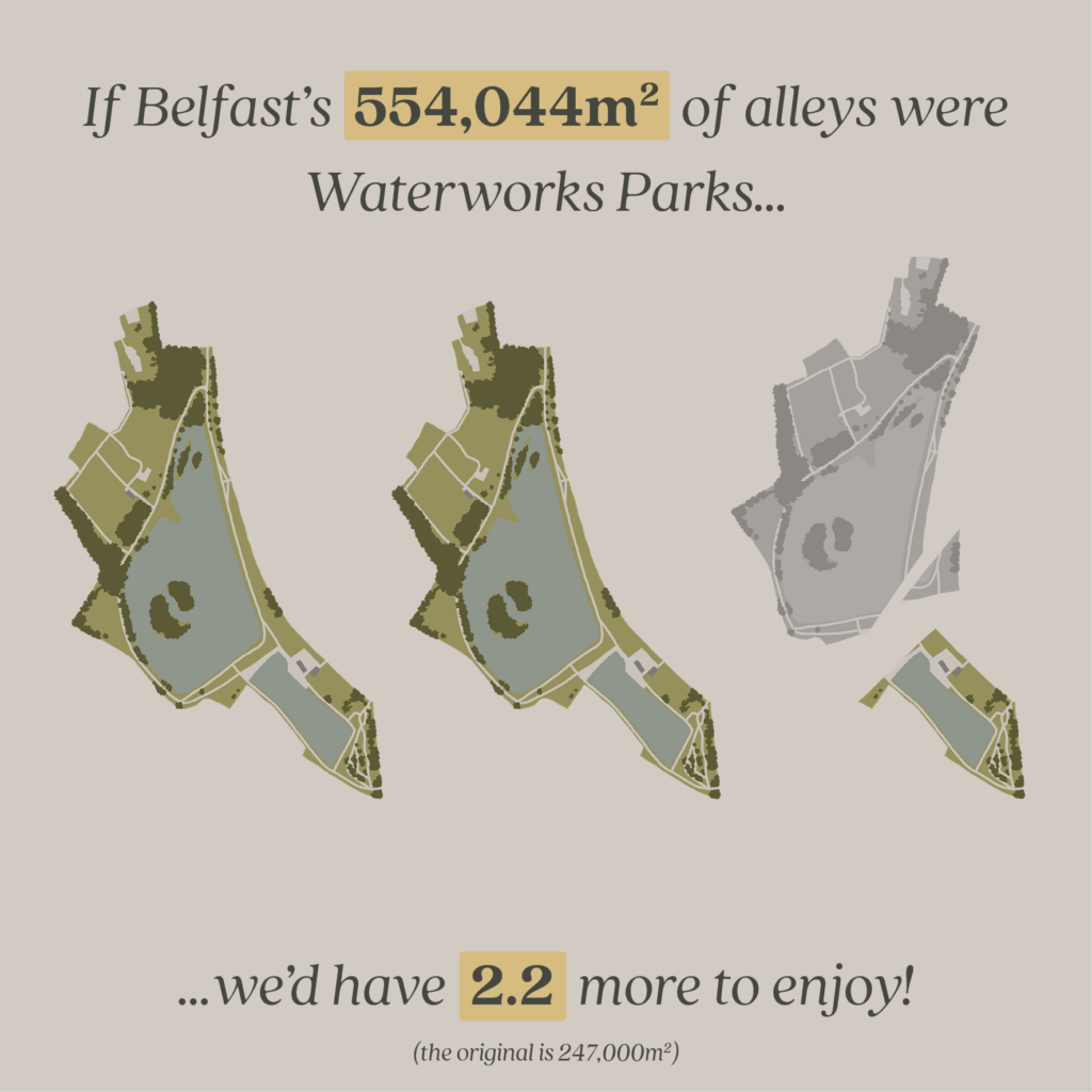
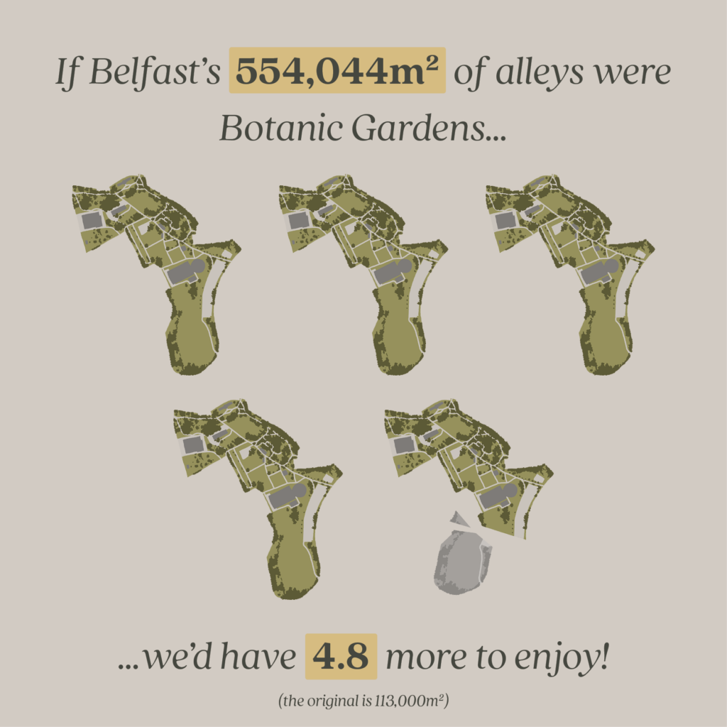
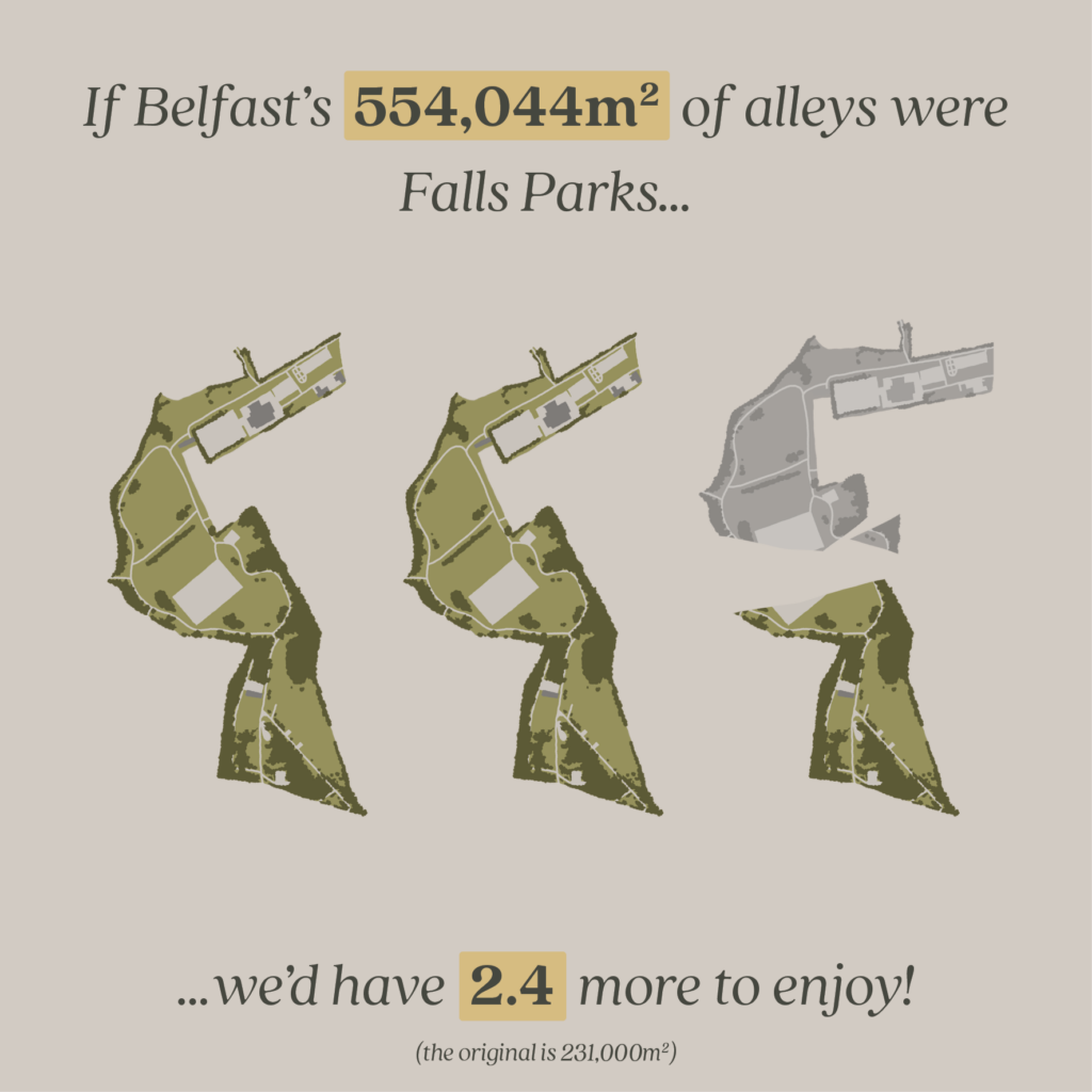
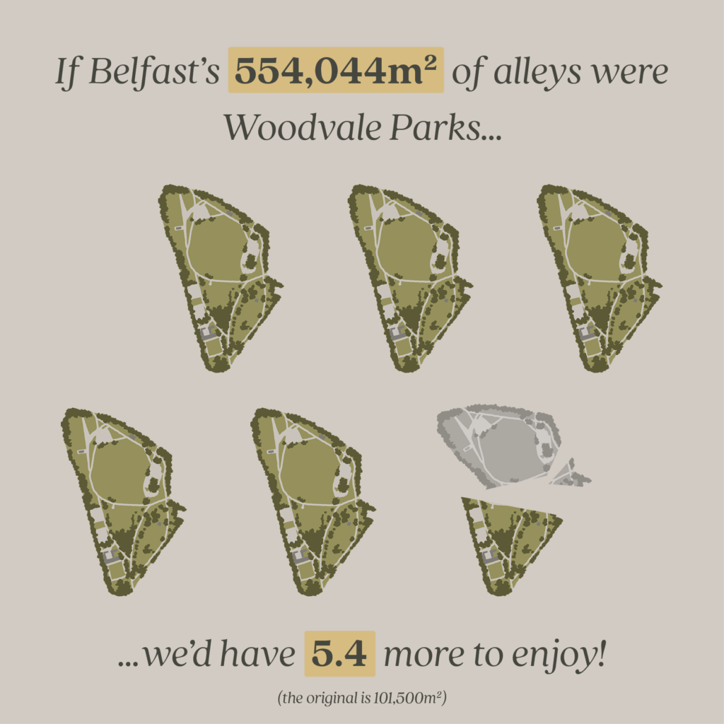
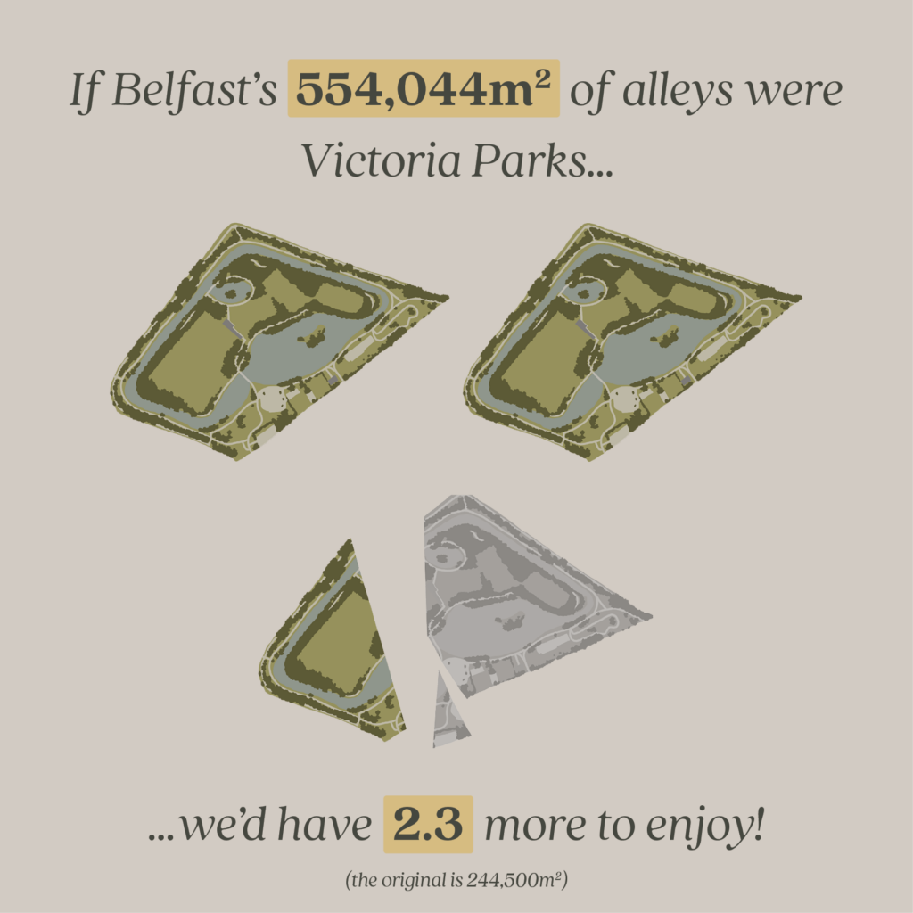
And what if our alleys were considered as parks – common spaces, open to all? We pushed our total alley distance of 202km a little further, multiplying it by 9ft to get a rough total area.

This ended up being an equally amazing 544,044m2

We set out to compare Belfast alleys to the sizes of local parks: Ormeau, Botanic, Falls, Victoria – the list goes on!

If you would like to see the alleys become greenways and parks then… use them! Use the alley as a shortcut. Start growing things using whatever you have to hand. We can start the process.

Words and Illustrations by Aaron Vinaccia, Design & Research Assistant

Aaron is a recent graduate of Architecture from Queen’s University, where his projects focused on adapting built heritage and preserving our natural environments. His previous work within the charitable sector amplified these interests, firmly grounding his design ethos in sustainability and improving spaces for the public. His dissertation researched the impact of tourism on the built environment surrounding World Heritage sites and the knock-on effect that has on what this designation seeks to preserve, including the communities connected to these sites. As well as his work for 9ft in Common, he is an architectural assistant in Studio idir.